


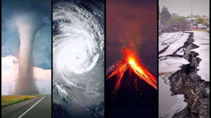
Monitoring of emergency situations
Monitoring of natural disaster zones and organizing rescue and recovery operations are the most important tasks in the modern world. Remote sensing data are optimal for solving management problems in emergency areas.
The main tasks of emergency situations solved with the help of satellite images:
creation of the most accurate, relevant and visual electronic geospatial framework for the emergency area (ES);
the employment of space data as an integral part in complex forecasts of emergencies;
Operational monitoring of emergencies’ development at all stages;
detection of local emergencies (landslides, talus, subsidence, erosion) as well as related accidents on pipelines, railways, facts of building collapses;
short-term forecasts and modeling in the framework of the happened, long-term emergencies, modeling of flooding, the development of forest fires;
creation of a number of different-scale situational schemes (from the region as a whole: settlements, roads, orography, hydrography - to a specific city: streets, large buildings, rivers, relief) in the form of vector electronic maps to be superimposed on images in order to plan operations, analyze the situation and downloads to mobile terminals;;
accurate mapping of the consequences of emergencies with the receipt of vector electronic layers of destroyed residential and public buildings, industrial buildings, structures, communications;
construction of three-dimensional models of potentially dangerous objects, objects of life support of the population using space stereoscopic photography.
The space research and technology agency under the Ministry of digital technologies of the Republic of Uzbekistan — “Uzbekspace” agency info@uzspace.uz uzkosmos@exat.uz 4, Ibrohim Muminov str, Mirzo Ulugbek district, Tashkent
 Show on map