


Environmental management
The use of satellite images for monitoring and assessing the state of specially protected natural areas (SPNA) of various ranks is an effective and objective method that allows you to achieve results in the shortest possible time.
Considering the poor transport accessibility of nature reserves, wildlife sanctuaries and national parks, exactly the remote sensing methods can allow solving a whole range of tasks that are inaccessible to traditional ground-based observation methods.
The main tasks include:
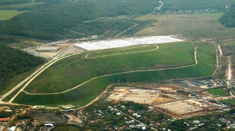
monitoring the state of existing specially protected natural areas (SPNAs), revealing the facts of violation of the SPNA protection regime - logging, cases of construction, changes in landscapes, formation of landfills;
mapping of landscapes and land areas within protected areas;
dynamics monitoring of the valuable landscapes of protected areas (degradation, disappearance);
formation and clarification of the boundaries of existing and created SPNAs;
comprehensive analysis of landscapes for the organization of new protected areas or expanding the boundaries of existing protected areas.
The space research and technology agency under the Ministry of digital technologies of the Republic of Uzbekistan — “Uzbekspace” agency info@uzspace.uz uzkosmos@exat.uz 4, Ibrohim Muminov str, Mirzo Ulugbek district, Tashkent
 Show on map