


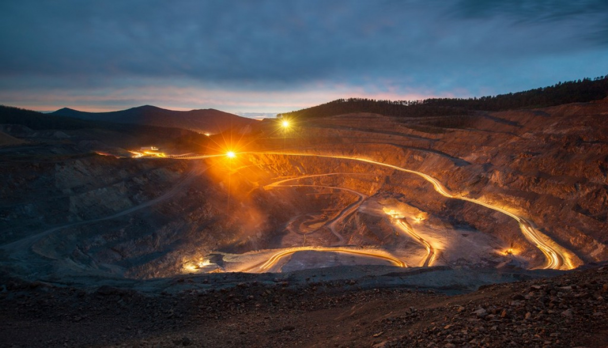
Geology and mining
The relevance of the problem of forecasting and prospecting for minerals using remote sensing methods is due to the need to obtain qualitatively new data on the objects under study costs for costly field work. Remote sensing covers large areas, including areas that are difficult to access by traditional methods.
The use of aerospace information in geology allows solving the following tasks:
mineralization forecasting based on remote sensing methods;
identification of natural anomalies, ore-controlling structures;
creation of maps (geological, tectonic, geomorphological, engineering-geological, ecological-geological, predictive-mineragenic and others);
study of the structural forms of the lithosphere;
clarification, detailing of the geological structure;
monitoring of modern geodynamic processes.
Based on aerospace information, geotechnical maps and topographic plans are created at any convenient scale. These data are used in carrying out of geological and mine surveying works.
Remote survey of the earth's surface facilitates the process of mine surveying, which include:
monitoring of mine workings;
safety control during geological exploration;
prediction of emergency situations, identification of hazardous areas.
The space research and technology agency under the Ministry of digital technologies of the Republic of Uzbekistan — “Uzbekspace” agency info@uzspace.uz uzkosmos@exat.uz 4, Ibrohim Muminov str, Mirzo Ulugbek district, Tashkent
 Show on map