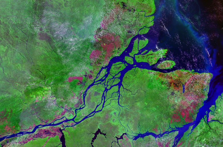
Agricultural land and forestry monitoring
Space monitoring technologies allows to effectively monitor various aspects of agricultural activities. Surveys from space provides an inventory of agricultural land, operational control of crops condition at various stages, allows to identify processes of land degradation, identify potential threats to crops and solve many other tasks of the agro-industrial complex
The tasks of space monitoring are grouped by industries and areas of activity of the agro-industrial complex:
determination of the exact boundaries of fields and working areas with the calculation of areas;
inventory and explication of agricultural land;
mapping of the real structure of land holdings on agricultural lands (arable land, meadows, orchards, perennial plantings, fallow lands and unused lands);
crop rotation mapping, determination of the real structure of seeding areas;
identification of unused lands, management of the rational usage of agricultural lands;
determination of overgrowth areas of the agricultural lands with trees and shrubs, assessment of overgrowth of agricultural lands;
identification of areas of erosion, waterlogging, waterlogging, and other manifestations of land degradation;
updating soil maps, remote mapping of soil cover properties (organic matter content, development of erosion processes, degree of moisture);
identification of the facts of unauthorized use of agricultural land.
Crop production:
monitoring of the state of agricultural crops at various stages of the growing season (biomass growth, degree of moisture), including assessment of germination;
planning and monitoring the implementation of agrotechnical works (plowing, harvesting);
identification and forecasting of unfavorable processes and phenomena (floods, pests) in order to take them into account when planning agricultural nature management.
Irrigation and land reclamation:
data support of design and survey works in the field of land reclamation and agricultural water supply;
control and monitoring of the state of reclamation and hydraulic engineering facilities.


 Show on map