


Land use and management of territories
Up-to-date information about condition of lands is necessary for the rational employment of land resources and effective management of territories.
Remote sensing allows to solve the following tasks:
development of landscape plans and topographic and geodetic bases;
identification of functional areas (residential, industrial, public) in settlements;
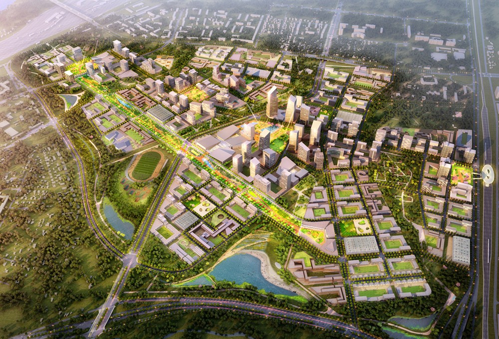
creation of schemes and plans for the development of territories;
assessment of the suitability of new territories for urban development.
Application of remote sensing data in land use and territory management.
On the basis of satellite images, it is possible to identify areas of potential danger to the population and allocate a place for the creation of sanitary protection zones. High-risk facilities include some engineering structures: factories, gas and oil pipelines, gas, oil and fuel storage facilities. Space monitoring allows to control the state of these objects in almost real time. Images with high spatial resolution contain up-to-date information about the state and dynamics of objects.
Aerospace monitoring methods are also used in cadastral surveys. The images allow to define the boundaries of territories and make an inventory of property. An inventory of small objects can be made thanks to ultra-high resolution: equipment, engineering structures, etc.
Controversial issues often arise related to the intersection of private territories, nature protection zones, and state reserves while laying trunk communications. Remote sensing helps to analyze territories and find the best option for passing a gas or oil pipeline.
Aerospace survey of the earth's surface is necessary when organizing large-scale construction, in the development of quarries and deposits. The task of space monitoring is to assess the suitability of the territory for construction or mining. Based on the data obtained, you can create a geographic information system for the management of design and construction works. Regular monitoring allows you to control the process of construction and field development at all stages.
The space research and technology agency under the Ministry of digital technologies of the Republic of Uzbekistan — “Uzbekspace” agency info@uzspace.uz uzkosmos@exat.uz 4, Ibrohim Muminov str, Mirzo Ulugbek district, Tashkent
 Show on map