


Line objects monitoring
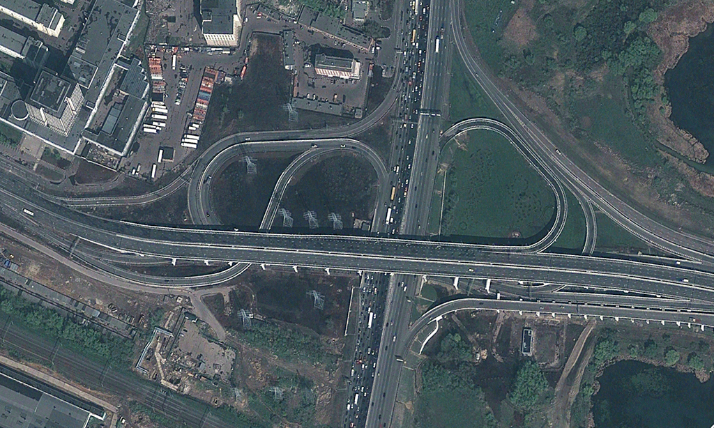
Space imagery provides an extensive basis for mapping and inventorying transport infrastructure: roads, railways, pipelines, water canals, airports and river ports, as well as for planning repairs at road transport infrastructure facilities. The images are used to determine areas of reliable radio signal reception, assess the efficiency of cellular communication systems, when planning infrastructure and expanding existing networks.
Tasks to be solved:
inverntory of roads and railways;
operational mapping of newly appeared roads;
monitoring of the condition, construction and reconstruction of road and transport infrastructure facilities (interchanges, bridges, parking lots, gas stations, complex service points);
study of transport accessibility within certain territories according to remote sensing data and additional cartographic and statistical materials;
operational logistics - building graphs of roads and streets based on space images, with the subsequent possibility of using them to optimize transportation planning;
determination of zones of reliable radio signal reception, when planning infrastructure and expanding existing networks based on digital terrain models (DTM), including not only the relief, but also all existing irregularities of the earth's surface (vegetation, buildings, structures, etc.).
The space research and technology agency under the Ministry of digital technologies of the Republic of Uzbekistan — “Uzbekspace” agency info@uzspace.uz uzkosmos@exat.uz 4, Ibrohim Muminov str, Mirzo Ulugbek district, Tashkent
 Show on map